Carn Fadryn - GW/NW-058 SOTA (2025)
Summits on the Air Activation Report
Activation Date: Friday 19th September, 2025.
Activator(s): Richard M1HAX.
Summit: Carn Fadryn, North Wales, Wales.
Summit ID: SOTA reference GW/NW-058 (1 point).
Summit Height: 371m elevation, 343m prominence.
Summit Location: Lat./Long. 52.88649, -4.55985. Maidenhead Grid IO72rv.
Distance: 2.6km travelled with 230m of ascent.
Difficulty: SAC Grade T1.(?)
Elapsed Time: 1h 5m (including operating).
Weather: 15°C, light rain, 39 kph S wind, 99% humidity.
Radio Equipment: Yaesu FTM100D, Slim-J, Zippy 4200mAh 4S LiFePo4.
Callsign Used: MW1HAX/P.
Contacts: 4 (2m FM).
Trip Notes
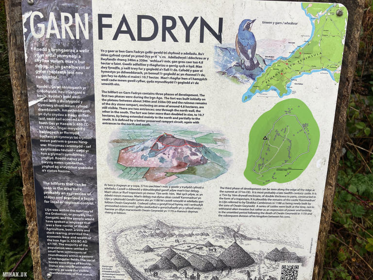
Carn Fadryn stands at 371 metres as the highest summit on the Llyn Peninsula and hosts one of Wales’s most impressive hillforts. The initial Iron Age construction around 300 BC enclosed nearly five hectares; a dramatic expansion around 100 BC increased this to over ten hectares. Gerald of Wales recorded a castle here as “newly built” in 1188, describing it as Karnmadrun. The name honours Saint Madrun, supposedly granddaughter of Vortigern - the “F” being a Welsh soft mutation from “Madryn.”
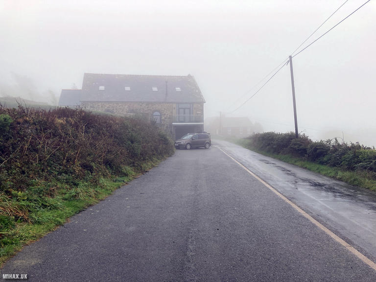
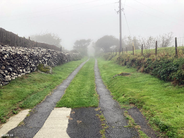
This was my second hill of the day, following Garn Boduan. Apparently free roadside parking accommodates several vehicles at the start point in Garnfadryn village, where an interpretation board explains the hillfort’s history. The weather continued to be wet with strong winds, and near-total humidity.
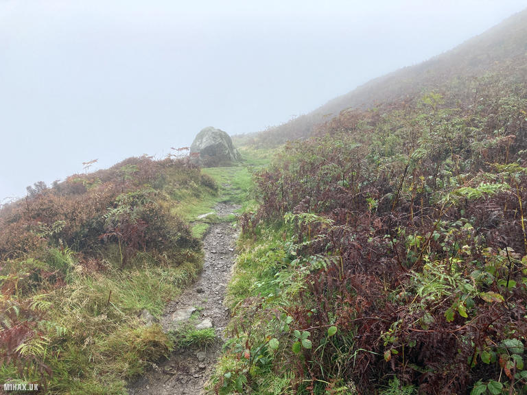
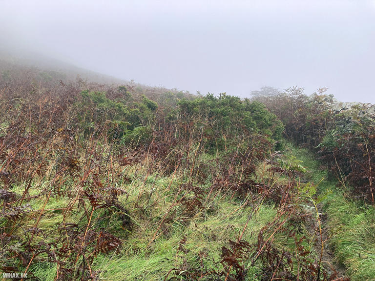
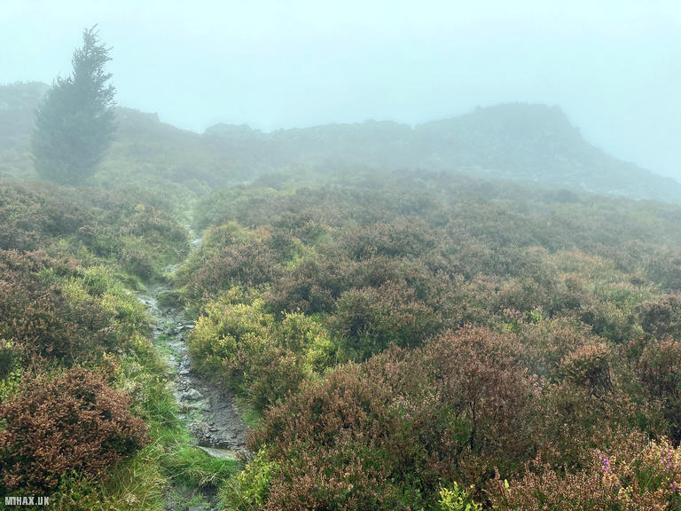
The ascent follows a well-worn path similar in character to Garn Boduan, with an access track giving way to a grassy, gravelly footpath heading up to the rocky summit. Signage in the same style as the previous hill provides local knowledge about the archaeology. Bracken can obscure the lower sections in summer, but the route is generally obvious.
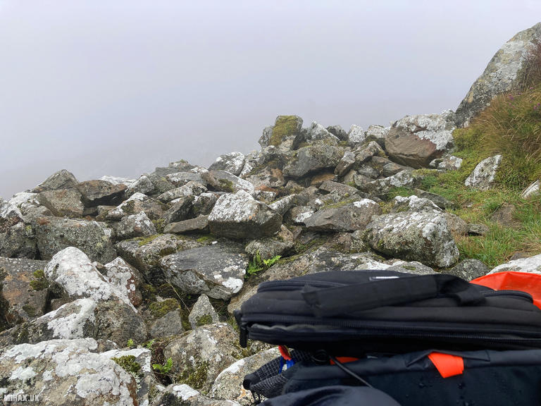
Low cloud eliminated any views from the summit, which was a shame - on clear days the panorama extends across the Irish Sea and to Snowdonia. The rocky summit area provides little shelter from the wind, though the hillfort ramparts offer some protection. Unlike Garn Boduan, I was able to quickly raise four contacts on 2m FM using my Yaesu FTM100D with Slim-J antenna. GW0PLP, GW4TJC, MW0RHD and 2W0IMX - some who had worked me on the previous summit - came back promptly. The later time of day likely helped with chaser availability.
The round trip covered 2.6 kilometres with 230 metres of ascent, taking just over an hour including operating time. This is a pleasant small hill which I am sure would be very rewarding in better weather conditions. With 343 metres of prominence, it qualifies comfortably as a Marilyn and deserves a return visit to properly appreciate the views and archaeology.
Photos
Below are some photographs taken during my activation of Carn Fadryn on Friday 19th September, 2025.

Walking Route for Carn Fadryn
The interactive map below shows my GPS track taken to the SOTA activation zone for Carn Fadryn. The GW/NW-058 summit area is marked on the map with a blue pin icon.
You can download the route shown above as a GPX file suitable for use with most GPS devices. This file is provided for information only, to support your own walk planning and research (it may contain navigation errors, detours and/or safety hazards). The route downloads provided here are governed by the Creative Commons BY-NC-SA 4.0 licence.
Station Log
I logged the following 4 amateur radio contacts operating as MW1HAX/P from GW/NW-058 Carn Fadryn on Friday 19th September, 2025 (all times shown are UTC):
| Time | Callsign | Band | Mode | Notes |
|---|---|---|---|---|
| 13:31 | GW0PLP | 2m | FM | RX: 59, TX: 59 |
| 13:32 | GW4TJC | 2m | FM | RX: 55, TX: 58 |
| 13:32 | MW0RHD | 2m | FM | RX: 59, TX: 59 |
| 13:34 | 2W0IMX | 2m | FM | RX: 58, TX: 59 |
In the notes field I will usually log the other operator’s name and the signal report they provided. In accordance with the Summits on the Air rules, I do not make a log entry where a complete exchange of callsigns and signal reports was unsuccessful.
Additional Information
The following resources may be helpful to walkers, mountaineers and SOTA activators interested in Carn Fadryn:
- Sotl.as Summit Page for GW/NW-058 Carn Fadryn.
- Hill Bagging UK Summit Page for Carn Fadryn.
- Google Maps Page for Carn Fadryn.
- Wikipedia entry for Carn Fadryn.
If you found this content valuable, why not Buy Me a Coffee?