Garn Boduan - GW/NW-066 SOTA (2025)
Summits on the Air Activation Report
Activation Date: Friday 19th September, 2025.
Activator(s): Richard M1HAX.
Summit: Garn Boduan, North Wales, Wales.
Summit ID: SOTA reference GW/NW-066 (1 point).
Summit Height: 279m elevation, 176m prominence.
Summit Location: Lat./Long. 52.92495, -4.51240. Maidenhead Grid IO72rw.
Distance: 3.6km travelled with 203m of ascent.
Difficulty: SAC Grade T2.(?)
Elapsed Time: 1h 25m (including operating).
Weather: 15°C, light rain, 39 kph S wind, 99% humidity.
Radio Equipment: Yaesu FTM100D, Slim-J, Zippy 4200mAh 4S LiFePo4, Elecraft KX2, AX1.
Callsign Used: MW1HAX/P.
Contacts: 5 (2m FM, 20m SSB).
Trip Notes
Garn Boduan dominates the landscape near Nefyn, enclosing approximately ten hectares within two successive Iron Age rampart circuits. Archaeological surveys have identified over 170 circular stone-walled structures within the hillfort - one of the largest concentrations in Wales. The summit also features a later medieval citadel, possibly one of the “castles of the sons of Owain” referenced after the death of Owain Gwynedd in 1170. The name translates as “cairn of Buan’s dwelling,” honouring Saint Buan, a 6th-century Welsh confessor.
This late September weekend was planned as a camping trip to the Llyn Peninsula with the goal of activating six one-point summits, culminating in a boat trip to Bardsey Island. My base would be Treheli Farm Campsite, within walking distance of Mynydd Rhiw. Unfortunately, severe weather would eventually scupper the Bardsey crossing, but that disappointment lay ahead. For now, Garn Boduan was first on the list.
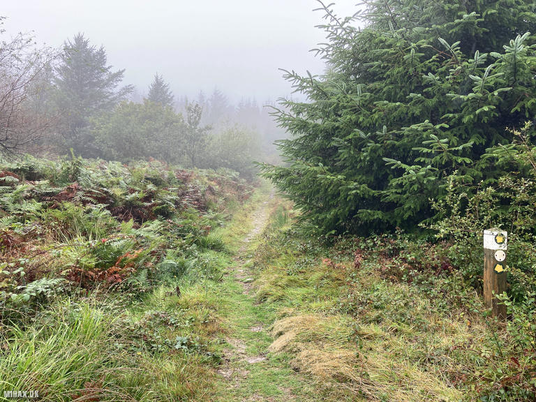
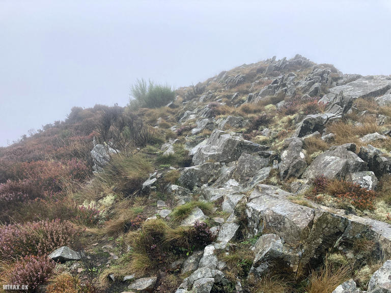
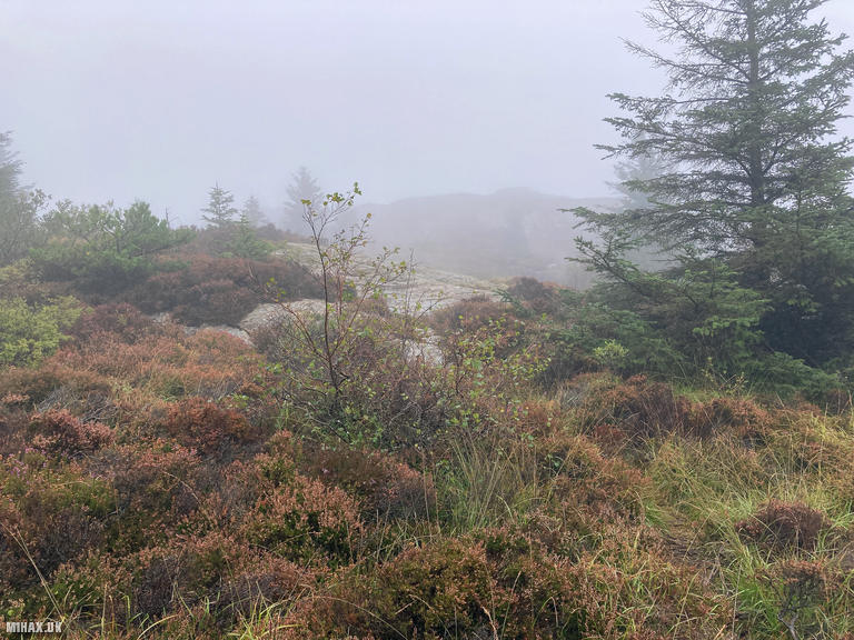
I parked at a small area where a forestry access track begins the ascent. A gravel path soon transitions to a grassy trail through heather, though in the misty conditions navigation became tricky. Opting to not look at a proper map for the sake of time, I made an unnecessary detour over a nearby pile of stones before finding the correct route to the summit.
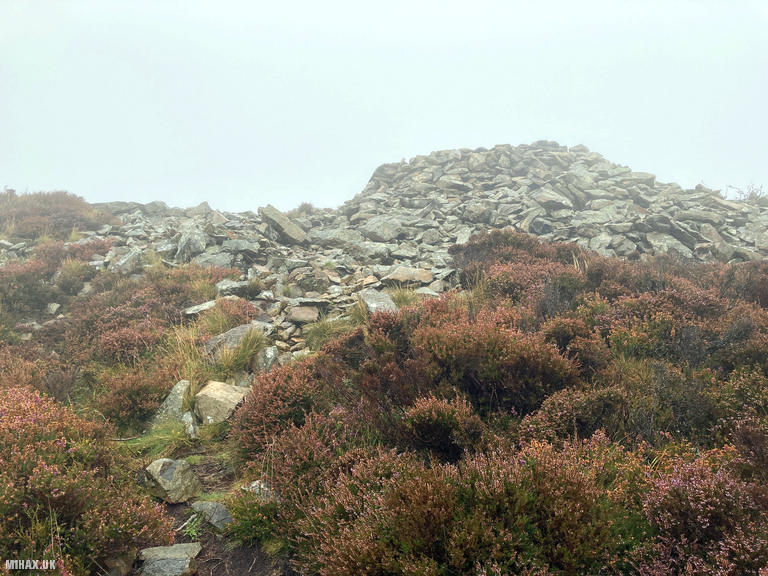
Arriving at the top, I was grateful for the stone shelter - a modern construction that unfortunately used stones from the medieval citadel. The weather was thoroughly unpleasant: 15C with steady rain and a strong southerly wind creating near-total saturation.
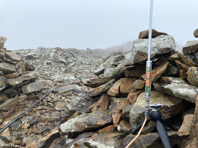
Setting up my Yaesu FTM100D at 50 watts with the Slim-J antenna, I hoped for a quick four contacts to escape the wet conditions. After ten minutes, I had managed only two QSOs on 2m FM with GW4TJC and 2W0IMX. Switching to my Elecraft KX2 with AX1 antenna proved far more productive - I quickly logged three contacts on 20m SSB including a summit to summit with DL3TU/P on DM/BW-064 in Germany. In retrospect, I should have gone straight to HF operating on this summit.
The total round trip covered 3.6 kilometres with 203 metres of ascent, taking around 85 minutes. Despite my lazy navigation, this is a straightforward hill that would be thoroughly pleasant on a sunny day. The Iron Age archaeology deserves proper exploration in better conditions.
Photos
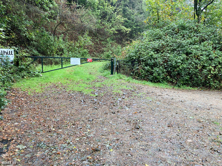
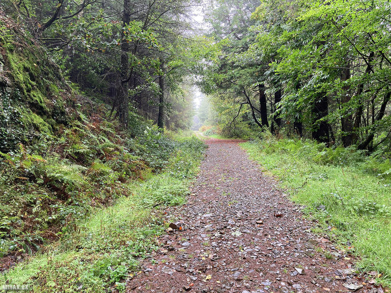
Below are some photographs taken during my activation of Garn Boduan on Friday 19th September, 2025.

Walking Route for Garn Boduan
The interactive map below shows my GPS track taken to the SOTA activation zone for Garn Boduan. The GW/NW-066 summit area is marked on the map with a blue pin icon.
You can download the route shown above as a GPX file suitable for use with most GPS devices. This file is provided for information only, to support your own walk planning and research (it may contain navigation errors, detours and/or safety hazards). The route downloads provided here are governed by the Creative Commons BY-NC-SA 4.0 licence.
Station Log
I logged the following 5 amateur radio contacts operating as MW1HAX/P from GW/NW-066 Garn Boduan on Friday 19th September, 2025 (all times shown are UTC):
| Time | Callsign | Band | Mode | Notes |
|---|---|---|---|---|
| 11:50 | GW4TJC | 2m | FM | RX: 53, TX: 59 |
| 11:51 | 2W0IMX | 2m | FM | RX: 57, TX: 59 |
| 12:03 | DL3TU/P | 20m | SSB | RX: 56, TX: 59, S2S DM/BW-064 |
| 12:04 | HB9CGA | 20m | SSB | RX: 55, TX: 59 |
| 12:04 | DL8DXL | 20m | SSB | RX: 53, TX: 57 |
In the notes field I will usually log the other operator’s name and the signal report they provided. In accordance with the Summits on the Air rules, I do not make a log entry where a complete exchange of callsigns and signal reports was unsuccessful.
Additional Information
The following resources may be helpful to walkers, mountaineers and SOTA activators interested in Garn Boduan:
- Sotl.as Summit Page for GW/NW-066 Garn Boduan.
- Hill Bagging UK Summit Page for Garn Boduan.
- Google Maps Page for Garn Boduan.
- Wikipedia entry for Garn Boduan.
If you found this content valuable, why not Buy Me a Coffee?