Moel y Golfa - GW/MW-027 SOTA (2025)
Summits on the Air Activation Report
Activation Date: Tuesday 16th September, 2025.
Activator(s): Richard M1HAX.
Summit: Moel y Golfa, Mid Wales, Wales.
Summit ID: SOTA reference GW/MW-027 (1 point).
Summit Height: 403m elevation, 261m prominence.
Summit Location: Lat./Long. 52.70578, -3.05116. Maidenhead Grid IO82lq.
Distance: 2.5km travelled with 225m of ascent.
Difficulty: SAC Grade T3.(?)
Elapsed Time: 1h 15m (including operating).
Weather: 13°C, cloudy, 28kph W wind, 71% humidity.
Radio Equipment: Yaesu FTM100D, Slim-J, Zippy 4200mAh 4S LiFePo4.
Callsign Used: MW1HAX/P.
Contacts: 7 (2m FM).
Trip Notes
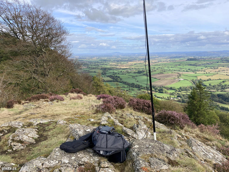
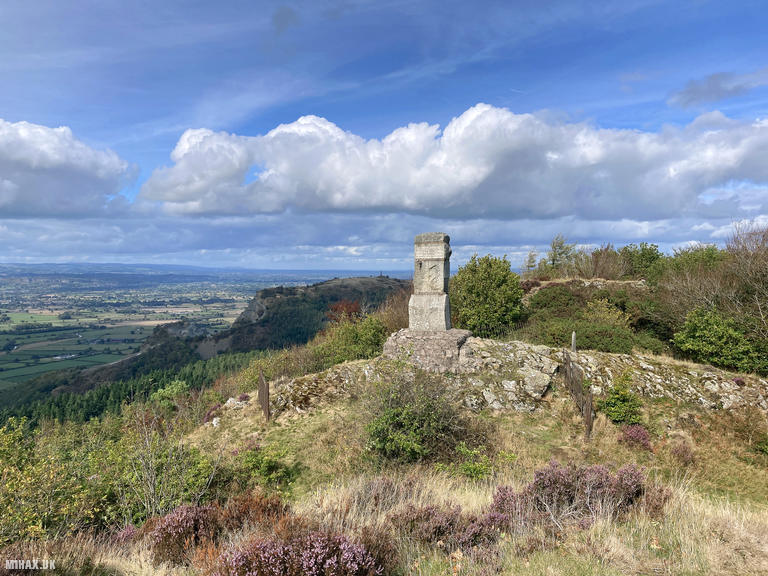
Moel y Golfa at 403 metres is the highest of the Breidden Hills, volcanic remnants dating back 450 million years - described geologically as “the uppermost snout of a subterranean volcano.” With 261 metres of prominence, this Marilyn offers one SOTA point and was my favourite hill of the day. The rocky summit features an extraordinary monument: over 25 tonnes of Devon granite commemorating Romani chiefs Ernest Burton and his son Uriah “Big Just” Burton, described as “undefeated in fisty cuffs from age five.” The spearpoint iron railings surrounding the memorial can serve as useful antenna attachment points.
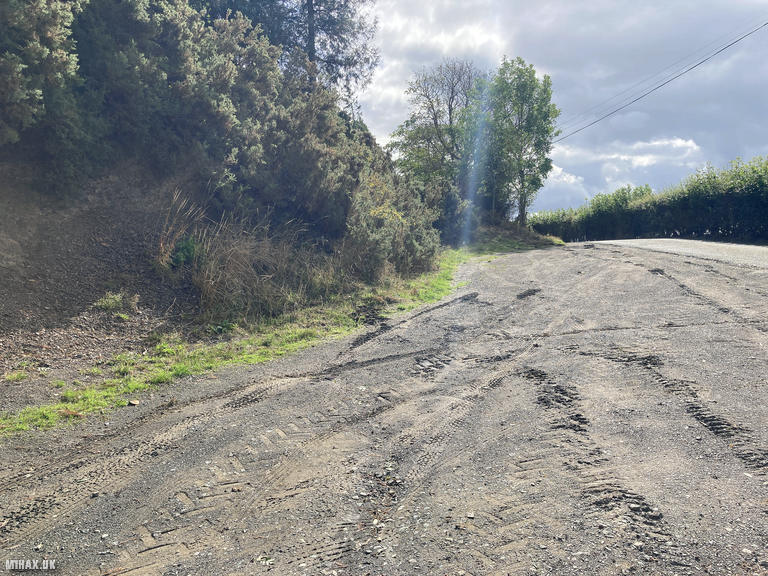
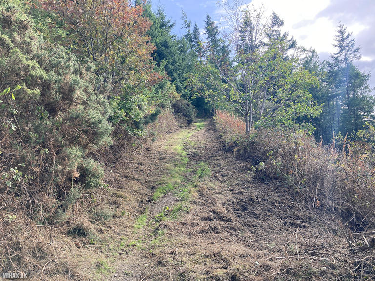
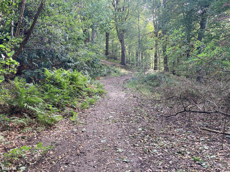
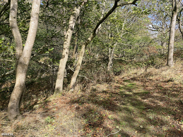
I parked in a large roadside parking bay on a minor road a short distance north of Trewern village. The route initially ascends over bracken which appeared to have been recently cut back, then enters the forest on the hillside where the path becomes more established.
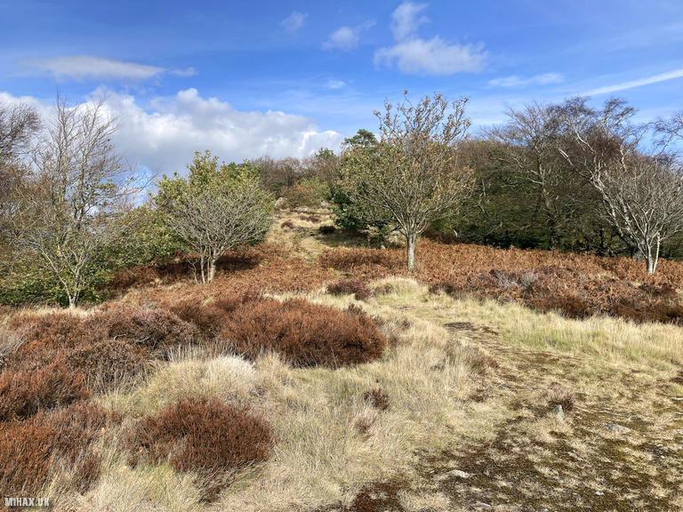
On the ascent, I chose to cut out the contouring footpath and turn southeast to take a shortcut up steep ground. Conditions were dry so this was manageable, but I did not intend to descend this way later - other activators have reported the paths becoming treacherous with leaf litter after rain, with one breaking his leg in two places during descent.
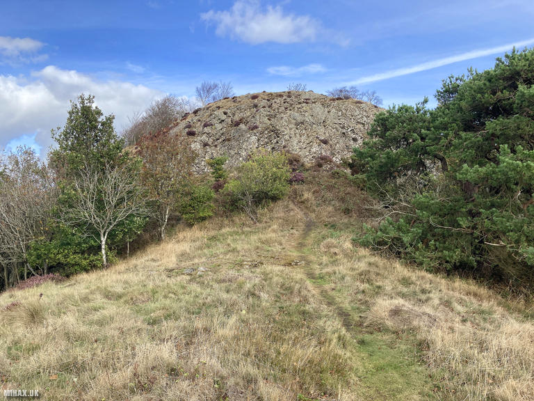
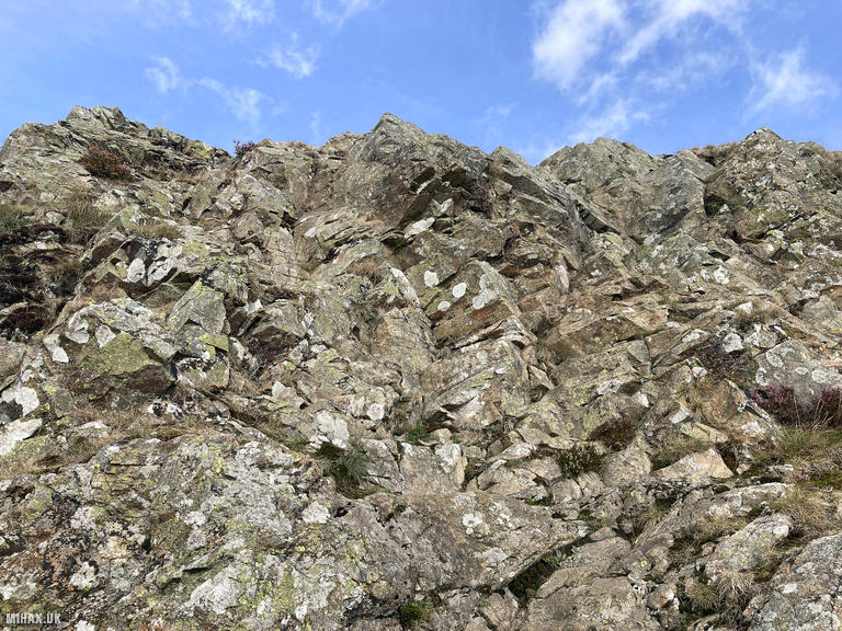
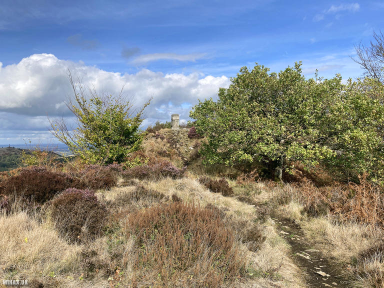
As the forest is exited at higher altitude, the grassy path ends at a rocky outcrop. A very short easy scramble is required here to continue, which is why I have graded this walk as SAC T3. It may be possible to find an easier route around the outcrop, but I did not investigate. Grassy paths continue up to the rocky summit where there was plenty of room to sit and enjoy the expansive views across to Cadair Idris, The Wrekin, and the Shropshire Hills. Setting up my Yaesu FTM100D at 50 watts with the Slim-J antenna, I logged seven stations on 2-metre FM.
I descended via the same route, this time following the obvious path around the earlier shortcut. The round trip of 2.5 kilometres with 225 metres of ascent took 75 minutes including operating time. This was a very enjoyable small hill which I would thoroughly recommend visiting - a fitting finale to a productive five-summit day.
Photos
Below are some photographs taken during my activation of Moel y Golfa on Tuesday 16th September, 2025.

Walking Route for Moel y Golfa
The interactive map below shows my GPS track taken to the SOTA activation zone for Moel y Golfa. The GW/MW-027 summit area is marked on the map with a blue pin icon.
You can download the route shown above as a GPX file suitable for use with most GPS devices. This file is provided for information only, to support your own walk planning and research (it may contain navigation errors, detours and/or safety hazards). The route downloads provided here are governed by the Creative Commons BY-NC-SA 4.0 licence.
Station Log
I logged the following 7 amateur radio contacts operating as MW1HAX/P from GW/MW-027 Moel y Golfa on Tuesday 16th September, 2025 (all times shown are UTC):
| Time | Callsign | Band | Mode | Notes |
|---|---|---|---|---|
| 14:10 | 2W0JYN | 2m | FM | RX: 59, TX: 59 |
| 14:14 | GW4RFT | 2m | FM | RX: 51, TX: 51 |
| 14:15 | 2E0SEY | 2m | FM | RX: 59, TX: 59 |
| 14:17 | G0MHF | 2m | FM | RX: 55, TX: 58 |
| 14:20 | G7RC | 2m | FM | RX: 58, TX: 58 |
| 14:21 | M0LOR | 2m | FM | RX: 57, TX: 58 |
| 14:21 | M7ONO | 2m | FM | RX: 59, TX: 58 |
In the notes field I will usually log the other operator’s name and the signal report they provided. In accordance with the Summits on the Air rules, I do not make a log entry where a complete exchange of callsigns and signal reports was unsuccessful.
Additional Information
The following resources may be helpful to walkers, mountaineers and SOTA activators interested in Moel y Golfa:
- Sotl.as Summit Page for GW/MW-027 Moel y Golfa.
- Hill Bagging UK Summit Page for Moel y Golfa.
- Google Maps Page for Moel y Golfa.
- Wikipedia entry for Moel y Golfa.
If you found this content valuable, why not Buy Me a Coffee?