Stingwern Hill - GW/MW-030 SOTA (2025)
Summits on the Air Activation Report
Activation Date: Tuesday 16th September, 2025.
Activator(s): Richard M1HAX.
Summit: Stingwern Hill, Mid Wales, Wales.
Summit ID: SOTA reference GW/MW-030 (1 point).
Summit Height: 358m elevation, 180m prominence.
Summit Location: Lat./Long. 52.60395, -3.28187. Maidenhead Grid IO82io.
Distance: 0.5km travelled with 37m of ascent.
Difficulty: SAC Grade T1.(?)
Elapsed Time: 30m (including operating).
Weather: 13°C, cloudy, 26kph WSW wind, 82% humidity.
Radio Equipment: Yaesu FTM100D, Slim-J, Zippy 4200mAh 4S LiFePo4.
Callsign Used: MW1HAX/P.
Contacts: 5 (2m FM).
Trip Notes
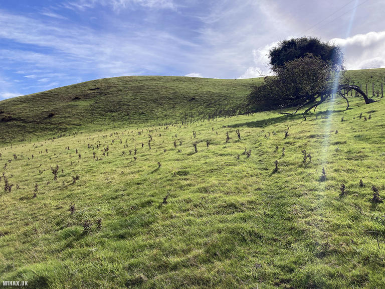
Stingwern Hill rises to 358 metres in the quiet countryside of Montgomeryshire, northwest of the village of Manafon. The name’s “gwern” element means alder-grove or marshy ground in Welsh, indicating wet terrain on the hill’s flanks where alders would thrive. With 180 metres of prominence, this qualifies as a Marilyn and offers one SOTA point. The nearest village of Manafon has literary significance as the parish where poet R.S. Thomas served as rector from 1942 to 1954, writing his first three poetry volumes while ministering to this farming community.
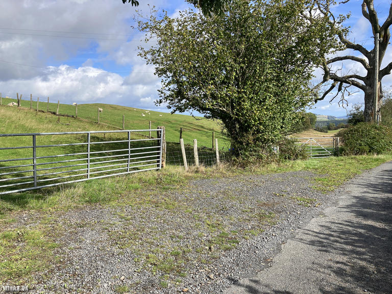
This was my third summit of the day, and by far the quickest. I parked in a gravel layby on a rural single-track road where one car can fit without blocking the farm gates.
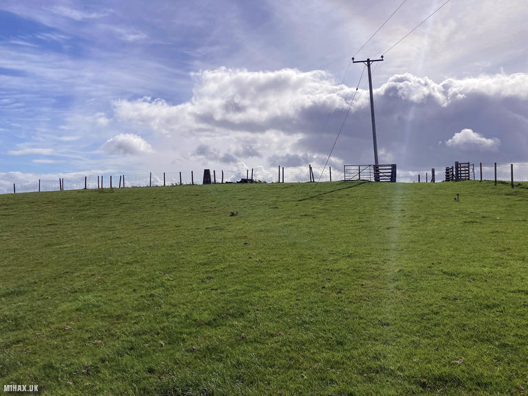
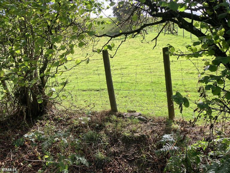
A short distance along the road is a gap in the barbed wire fence seemingly to facilitate walker access to the field. The approach is straightforward - after a trivial walk up the grassy field, the trig point is reached by passing through a fence gate at the top of the hill. The entire round trip covers just 500 metres with only 37 metres of ascent.
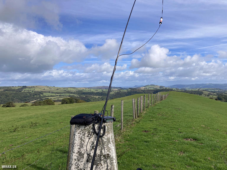
The summit offers open views across the surrounding farmland, though the exposed position means wind can be a factor. Today saw a 26 kilometre per hour west-southwest wind. Setting up my Yaesu FTM100D at 50 watts with the Slim-J antenna, I found 2-metre activity quiet. Despite the power, I managed only five contacts on FM before exhausting the available chasers. The hill’s relatively low profile and distance from major population centres likely contributes to limited VHF propagation.
The entire activation including operating time took just 30 minutes, making this an efficient stopover between more substantial walks. While unremarkable in terms of scenery, Stingwern Hill serves its purpose as a straightforward Marilyn tick for those collecting Welsh summits.
Photos
Below are some photographs taken during my activation of Stingwern Hill on Tuesday 16th September, 2025.

Walking Route for Stingwern Hill
The interactive map below shows my GPS track taken to the SOTA activation zone for Stingwern Hill. The GW/MW-030 summit area is marked on the map with a blue pin icon.
You can download the route shown above as a GPX file suitable for use with most GPS devices. This file is provided for information only, to support your own walk planning and research (it may contain navigation errors, detours and/or safety hazards). The route downloads provided here are governed by the Creative Commons BY-NC-SA 4.0 licence.
Station Log
I logged the following 5 amateur radio contacts operating as MW1HAX/P from GW/MW-030 Stingwern Hill on Tuesday 16th September, 2025 (all times shown are UTC):
| Time | Callsign | Band | Mode | Notes |
|---|---|---|---|---|
| 11:18 | M6NSV | 2m | FM | RX: 56, TX: 58 |
| 11:26 | GW4RFT | 2m | FM | RX: 53, TX: 55 |
| 11:26 | M7ONO | 2m | FM | RX: 56, TX: 56 |
| 11:29 | G7ICY | 2m | FM | RX: 55, TX: 57 |
| 11:31 | GW0MHK | 2m | FM | RX: 58, TX: 59 |
In the notes field I will usually log the other operator’s name and the signal report they provided. In accordance with the Summits on the Air rules, I do not make a log entry where a complete exchange of callsigns and signal reports was unsuccessful.
Additional Information
The following resources may be helpful to walkers, mountaineers and SOTA activators interested in Stingwern Hill:
- Sotl.as Summit Page for GW/MW-030 Stingwern Hill.
- Hill Bagging UK Summit Page for Stingwern Hill.
- Google Maps Page for Stingwern Hill.
- Wikipedia entry for Stingwern Hill.
If you found this content valuable, why not Buy Me a Coffee?